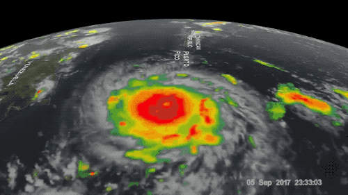
Brian Haus is no stranger to staring straight into the fury of a hurricane. He watches as the still air stirs into over 150 mph winds. The flat turquoise water suddenly churns a series of endless crashing waves of white frothy foam. The force of the spray could easily send a person barreling over.
“The spray that’s in the air is so overwhelming and coming at such high velocities that it’s just like being in a fire hose standing in a pool, I would expect,” says Haus, an ocean sciences professor at the University of Miami Rosenstiel School of Marine and Atmospheric Science.
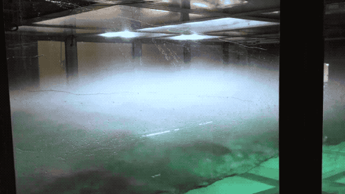
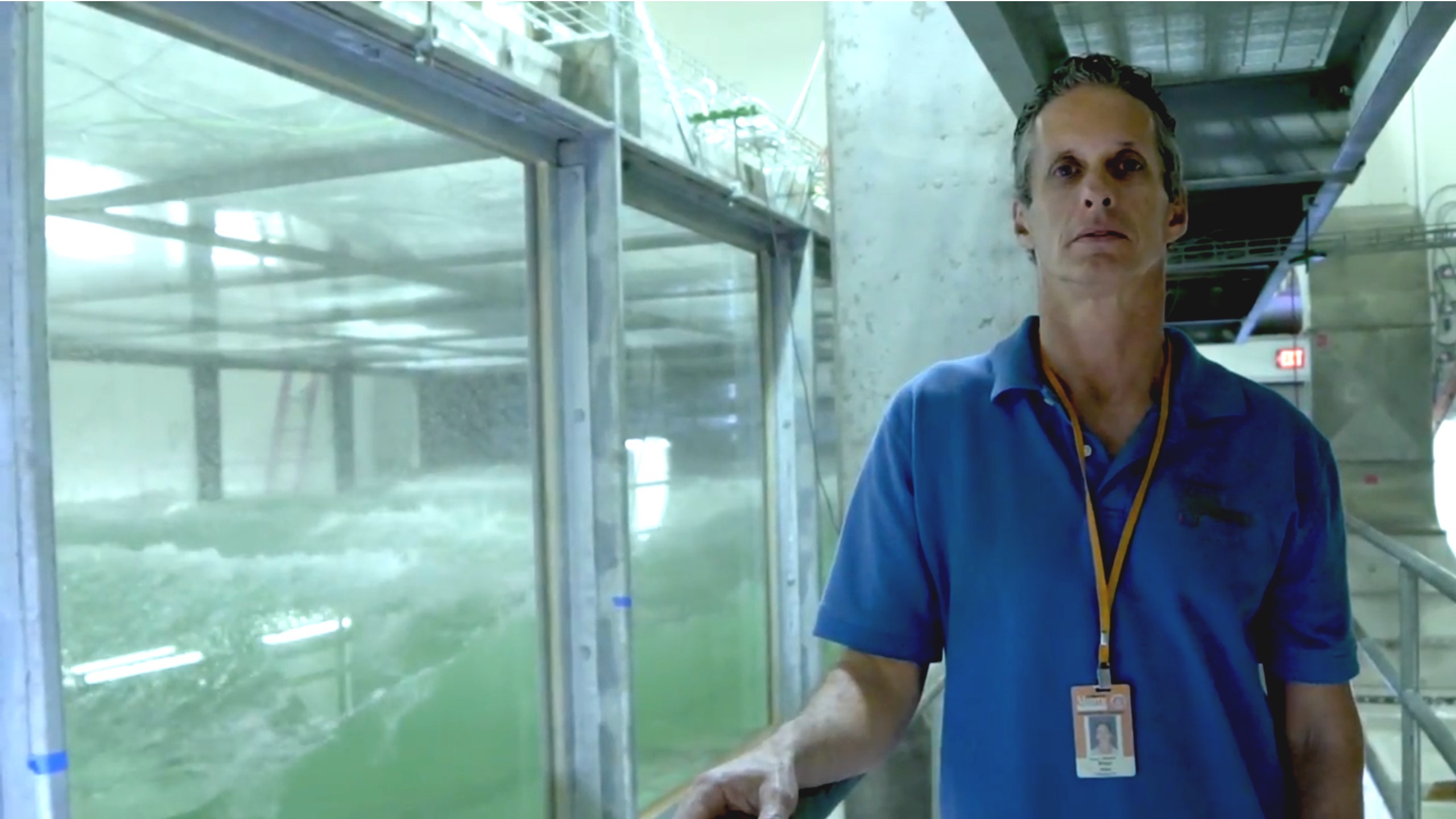
But, thankfully, Haus does not have to actually weather these powerful storms. Instead, he gets a close view from a safe distance at the Surge Structure Atmosphere Interaction Facility (or SUSTAIN Laboratory, for short). With a flip of a switch and a large diesel generator, the lab can concoct hurricanes on command in a box—a very large box stretching 75 feet long and 6.5 feet high—mimicking some of the most intense hurricanes that have ever been observed. By brewing these contained storms, Haus and his team can study the complex interactions between the air and the surface of the sea under extreme conditions, and use the information to improve intensity forecasting.
“We can create a hurricane when we want it,” says Haus, a self-proclaimed ‘wave junkie.’
Living in Miami, Florida for 25 years, Haus has ridden out a couple smaller storms and when there is a hurricane looming in the forecast there can be a sense of urgency. “We’re all looking at the forecast, looking at the different model runs, looking at the conditions in front of the storm to see what the intensity might be.”
Obtaining more accurate, updated information on hurricanes can be a matter of safety and preparedness for coastal communities.
[Andrew Revkin looks back on four billion years of climate change.]
Collecting good measurements on hurricanes out in the open ocean isn’t easy as experiments can cost a lot of money, energy, and commitment, Haus explains. Buoys with measuring instruments deployed at sea, for instance, can be difficult to control and place, and don’t always survive the harsh conditions.
“You can’t isolate processes enough in the field to really understand the detailed physics of what’s going on,” he says.
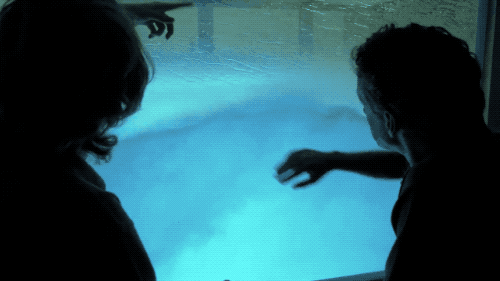
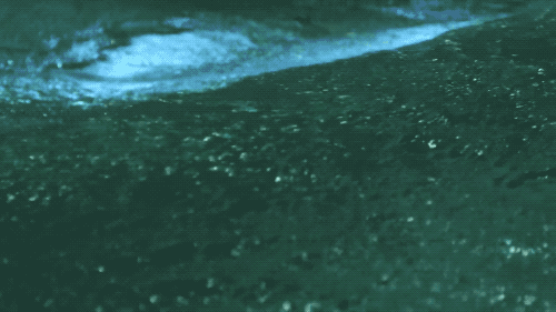
During strong storms like a Category 5 hurricane, it’s difficult to distinguish where the ocean’s surface is due to the amount of frothy emulsion of air and water, says Haus. In the lab, his team can better control the factors of a storm and, with the help of optical techniques, look closer at those physics processes at the water’s surface. They can create a wide range of intensities inside the test chamber—the large axial fan blowing wind up to 155 mph (equivalent to Category 5 hurricanes) and 12 wave generators pushing 38,000 gallons of seawater into white-capped waves.
“When you’re looking at the waves, your eye is drawn to the big, huge wave forms,” says Haus. “But really, a lot of the friction—a lot of the spray—is happening at centimeter scales.”
[Planning for—and surviving—’The Big Ones.’]
In order to predict the intensity of a storm, forecasters have to account for where the air and sea meet and how much heat is in the storm, says Haus.
The power of a storm comes from the heat that emanates off the ocean. Spray and foam from breaking waves play an important role in the transfer of heat and momentum. The ocean’s surface creates friction, or drag, that tugs on the hurricane, influencing the wind velocity and thus the intensity of the storm. Different variables—such as spray and waves—influence whether it’s like “pushing your hand across a glass table top versus pushing it across a rug versus pushing it across sandpaper,” Haus explains. “That difference, that quantification of how hard it is to push, that’s the drag coefficient.”
All forecast models use the drag coefficient to scale wind velocity. Researchers hypothesized that hurricanes reach a maximum potential intensity based on the wind speed, heat transfer, and drag coefficient. Originally, they thought that the drag coefficient increased at the same rate as the wind speed.
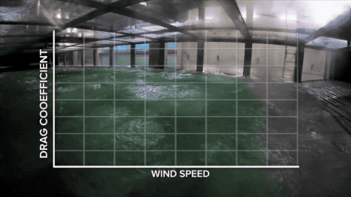
But, from the models and tests in the hurricane box, Haus and the team showed that the drag coefficient didn’t continue increasing with wind speed, but instead began to level off at around 100 feet per second. This observation baffled Haus and his team. There would be more and more friction as the drag leveled off with increasing wind speed—a condition that would make it impossible for a storm to reach the intensity of a Category 5 hurricane.
“Why is it that we know there are Category 5 storms, but the maximum potential intensity, based on what we know about the drag coefficient, wouldn’t allow that?” asks Haus. More recent work suggests that there might also be a period where the drag coefficient dips before it starts increasing again, opening a window for a storm to spike from a Category 3 to a Category 5 rapidly, Haus explains.
[How cities are preparing for more extreme weather.]
Back in the lab, peering inside the manufactured hurricane in a box, researchers are puzzling over the drag coefficient. “A better understanding of the drag coefficient can go directly into the hurricane forecast models,” says Haus. The people who run these models are hungry for data, he adds.
“If we are able to publish some good results on what the drag coefficient is for a Category 5 hurricane, which we’re going to be working on, people will start running tests with that new formulation immediately,” Haus says. “The hurricane forecasters can’t afford to ignore a recent result in terms of how that might affect their forecast.”
For Haus, the research at the SUSTAIN Lab evokes a personal calling. He continues to diligently look over the waves, from the light glistening over the peaks to the white caps and misty spray.
“I’m just enthralled with the surface of the ocean,” he says. “As a Miamian, as somebody who lives here in this hurricane prone place at the tip of a peninsula, there’s a real visceral desire, to get more knowledge, to get better forecasts, to get the information we need to keep all of us safe here in the hurricane season.”

Credits
Produced by Luke Groskin
Edited by Sarah Galloway
Article by Lauren J. Young
Music by Audio Network.com
Additional Footage and Stills Provided by SUSTAIN LAB, Rosenstiel School of Marine and Atmospheric Science University of Miami, POND 5, NASA GOES Project, NASA ISS, Lt. Rob Mitchell/NOAA
Meet the Producers and Host
About Luke Groskin
@lgroskinLuke Groskin is Science Friday’s video producer. He’s on a mission to make you love spiders and other odd creatures.
About Lauren J. Young
@laurenjyoung617Lauren J. Young was Science Friday’s digital producer. When she’s not shelving books as a library assistant, she’s adding to her impressive Pez dispenser collection.